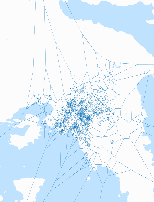
The process followed was the following:
-
Download data containing the addresses of 1404 mini markets in athens.
-
Use google API to query the latitude and longitude of the addresses, given the information of the location (area and address).
-
Convert latitude and longitude to cartesian coordinates, assuming linearity with small error due to the restricted range.
-
Use google maps api to keep a white simplified map of Athens.
-
Create the voronoi diagram using the coordinates of the points.
-
Superimpose the results of 4,5 on a single image.
Result

